A water-based city, Kochi has 48 km of waterfront development, a water transport system that converges with other modes of transport. Being a city that lies near sea level, any change in ocean levels will affect the city. The city faced one of the worst floods in 2019. Critical assets like main power substations and arterial roads were flooded. Flash floods are becoming more frequent, threatening the growth of the city. It not only destabilises growth but is also counter-productive to development, investment opportunities and adaptive capacity of the city.
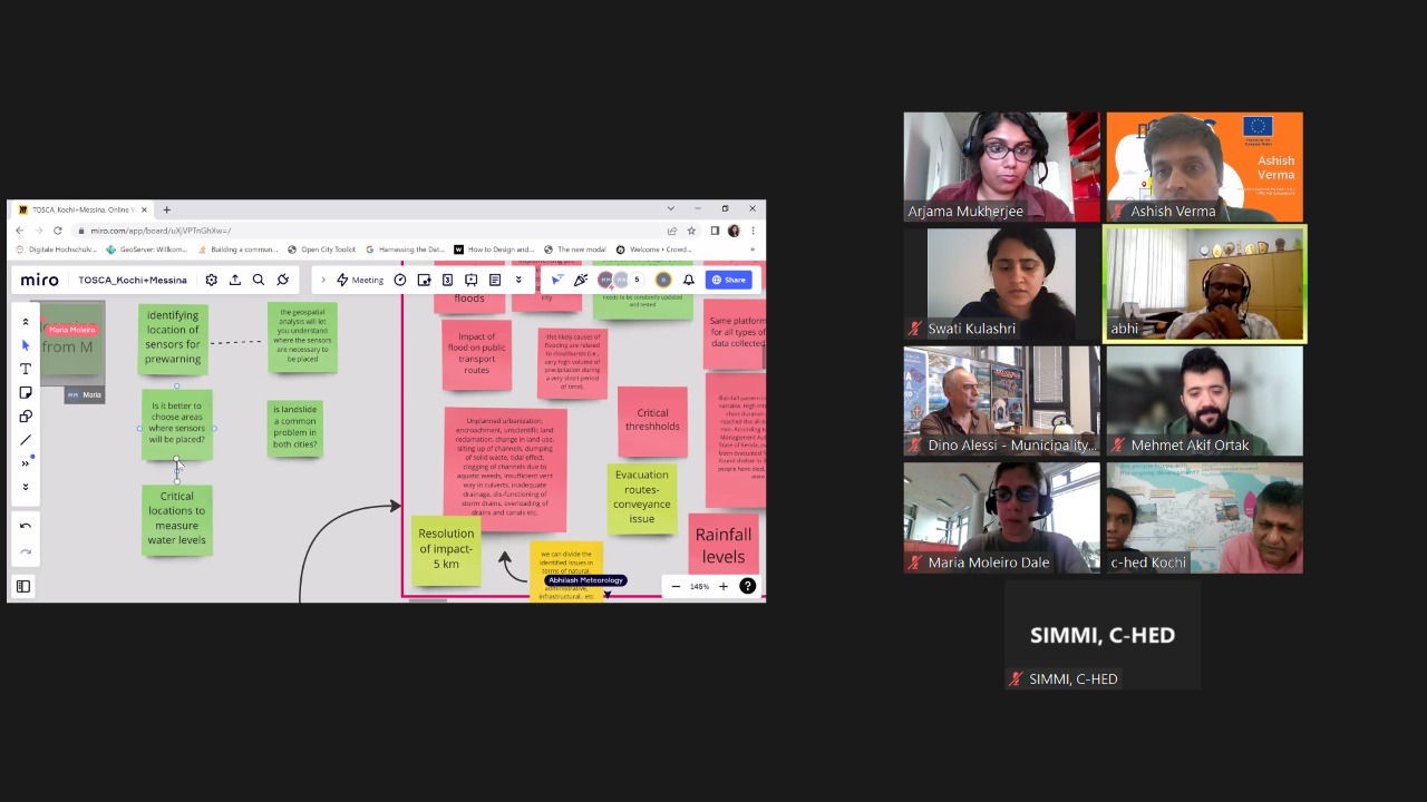
In 2022 and 2023, as part of the Toolkit for Open Sustainable City Planning and Analysis (TOSCA), a minimal viable use case on flooding was developed for the city of Kochi in India by the Digital City Science team at Hafen City University (HCU). Coordinated by IURC, other partners included Kochi Municipal Corporation, Municipality of Messina, Centre for Heritage, Environment and Development in Kochi, University of Messina, and Cochin University of Science and Technology. The objective of the use-case was to showcase how available data can provide useful information about flooding in Kochi. It started with a kick-off workshop to collect user demands and several follow-up sessions that were documented using a miro-board. Several communications also took place in between.
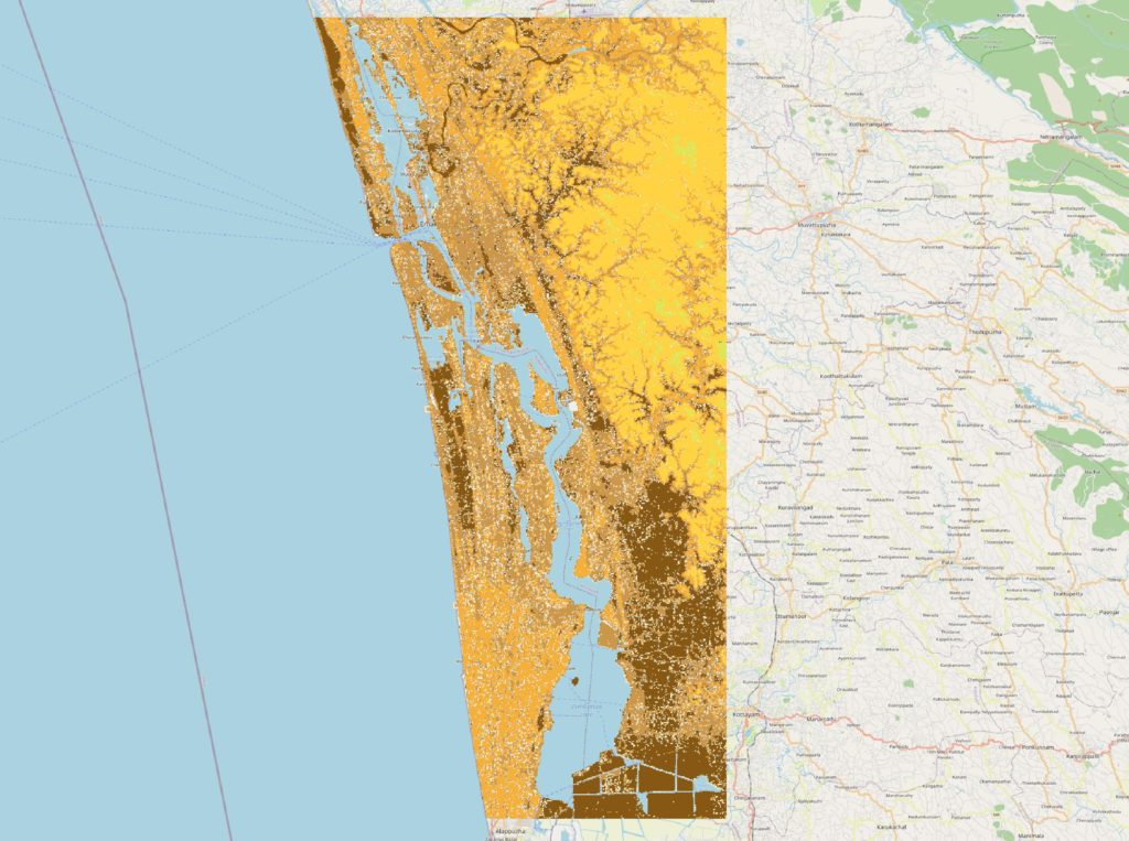
The results of the cooperation led to the development of a flood-risk map for Kochi with the use of open-source data. The flood risk map shows on a scale from 0-20 the areas of Kochi that are prone to flooding. It is obvious that a large part of the city, especially close to the coast is subject to high risk of flooding. This information is useful for policy makers and urban planners to better understand areas that require more attention in terms of mitigation and adaptation measures, enabling emergency providers to assist with higher priority cases. Furthermore, the map can be used to identify appropriate location for the pilot or extensive installation of surface water level sensors that can be used as early-warning systems. Based on the cooperation with IURC, the TOSCA team further developed concepts and ideas for building a flood module for Kochi that will enable a predictive early-warning flood system for the city of Kochi.
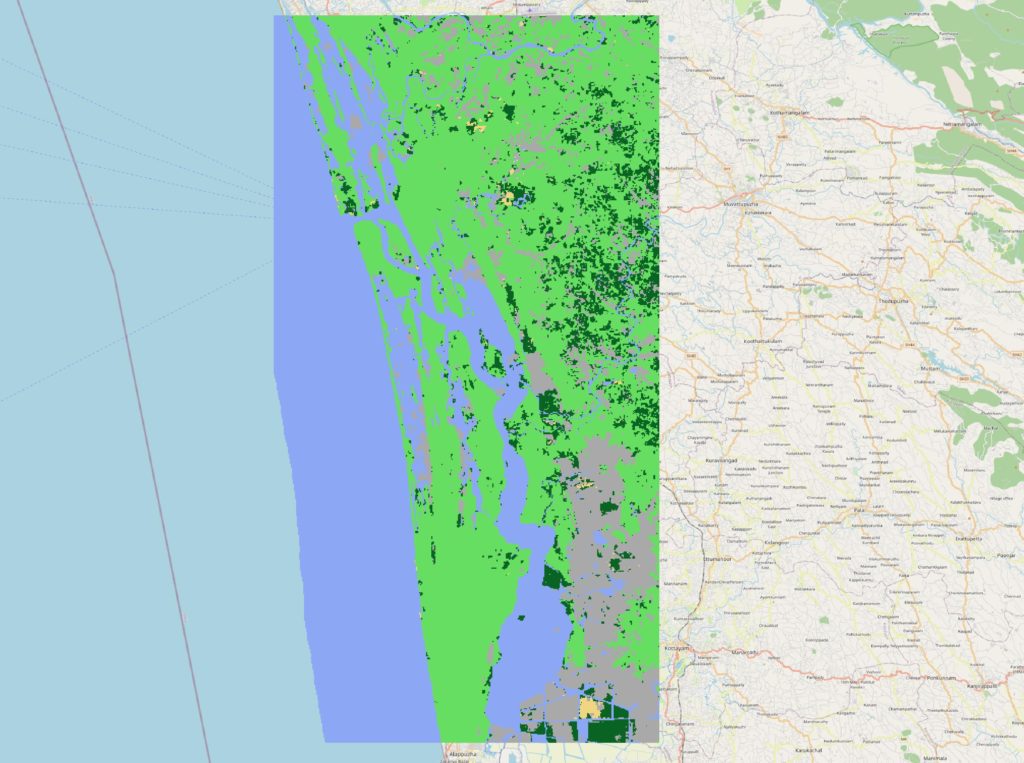
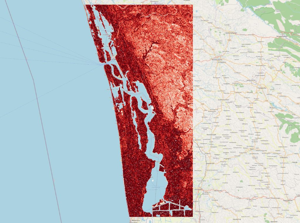
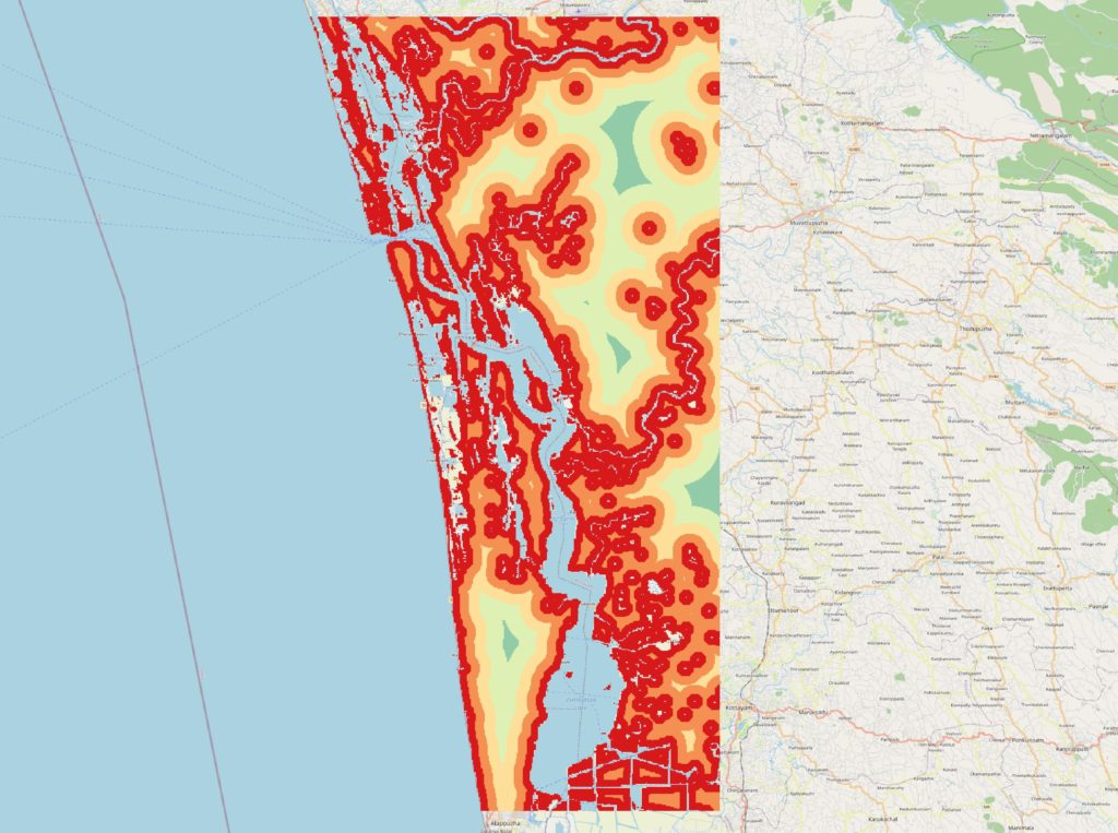
Source: Digital City Science, HafenCity University
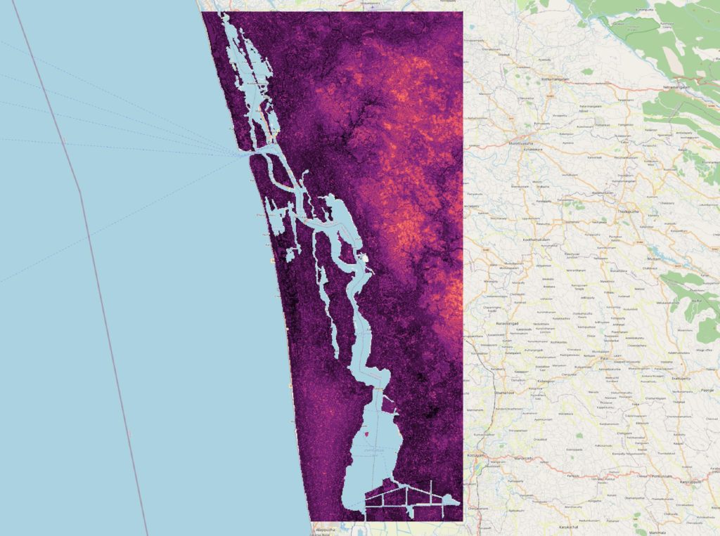
Source: Digital City Science, HafenCity University
As a follow up of this cooperation, Kochi has submitted (with support from IURC) an application to EU-funded Global Covenant of Mayors (GCoM) to leverage suitable funds to assess and develop a predictive flood model, which will include various features like elevation, slope, land-use plan, land cover, distance from the coastline, rainfall, drainage density and flood event. Furthermore, the possibility of installing a network of water level sensors will also be evaluated. If approved, the same stakeholders are expected to be part of this project.